
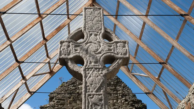
 Moone High CrossSeventeen feet of granite high cross under a roofed shelter at Moone, carved with fifty one scriptural panels.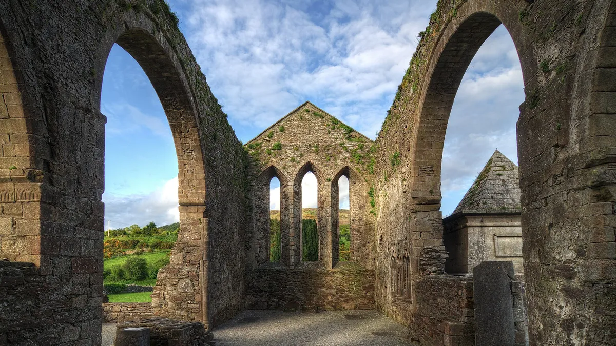
Abbey
Baltinglass Abbey
Baltinglass, County Wicklow
The Cistercian abbey ruin sits beside the church in Baltinglass, with the original nave arcade still up.
The beautiful Baltinglass Abbey is situated on the east bank of the River Slaney in Baltinglass Town, County Wicklow.
- Where
- Baltinglass, County Wicklow
- Address
- east, Baltinglass East
- Official site
- visitwicklow.ie
- Map
- Directions · OpenStreetMap
- Before you go
- Opening times, prices and access change. Check with the place itself.
Nearby
The closest places on our lists, in any county.
Moone High CrossSeventeen feet of granite high cross under a roofed shelter at Moone, carved with fifty one scriptural panels.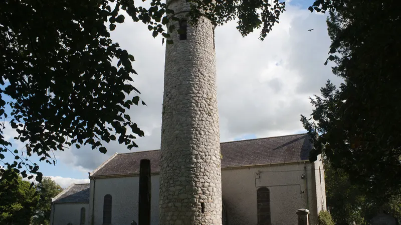 Castledermot Round TowerThe round tower here is built onto the church itself, and the graveyard around it holds two granite high crosses and a Romanesque doorway.
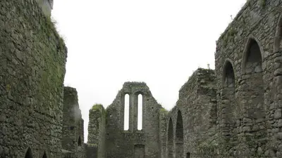 Castledermot Franciscan FriaryThe nave, the tower and the transept of this 13th century friary are all still standing, on the edge of the village.
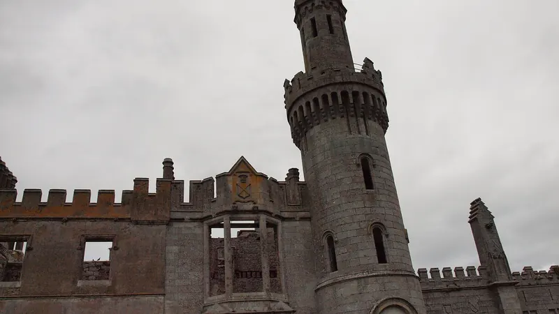 Duckett's GroveA Gothic revival mansion near Killerig burned out and was left standing. The turrets are up and two walled gardens sit beside it.
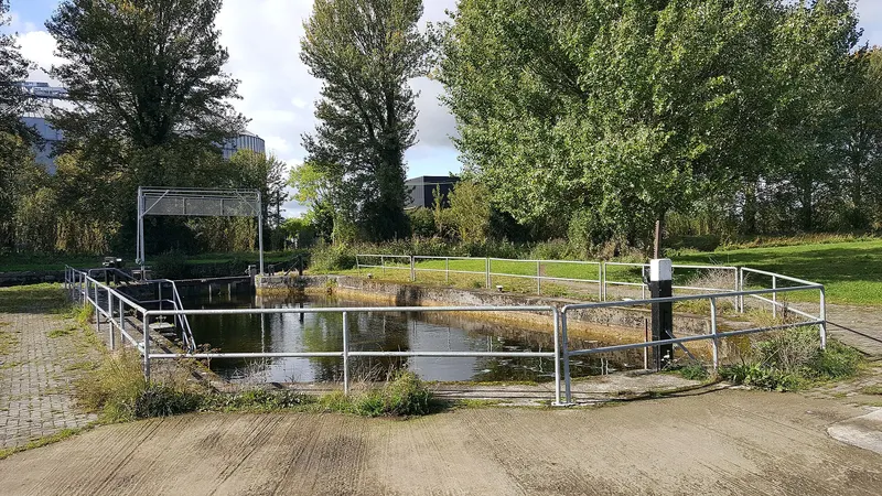 Barrow WayThe towpath follows the Barrow south from Lowtown, through Athy and on into Carlow.
On nearby
Coming up within about 25km.
Sunday 27th September
Thursday 1st October
Friday 2nd October
Sunday 4th October
More in Wicklow
 GlendaloughMonastic site · LaraghGlendalough fills a glacial valley, with a round tower, a gateway and two lakes above it.
 Powerscourt House and GardensHouse and gardens · EnniskerryTerraced gardens stepping down from a Palladian house towards the Sugar Loaf, with a walled garden and a pet cemetery.
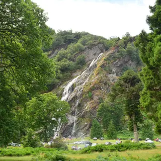 Powerscourt WaterfallWaterfall · EnniskerryIreland's highest waterfall drops 121 metres, in parkland a few kilometres from the main estate.
- Wicklow Mountains National ParkNational park · LaraghOver 20,000 hectares of blanket bog, heath and upland woodland across the middle of the county.
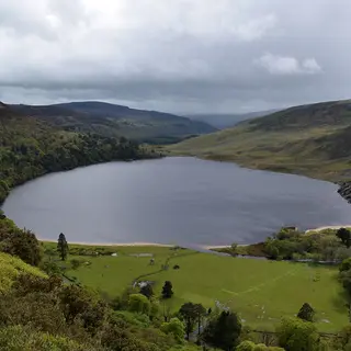 Lough TayLake · RoundwoodThe lake is dark with a white sand beach at one end of it, seen from a pull in on the Sally Gap road.
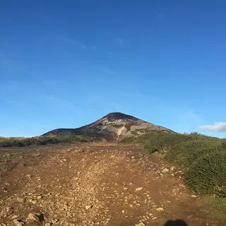 Great Sugar LoafMountain · KilmacanogueThe quartzite cone stands over the N11. You can be up and down inside an hour from the car park.
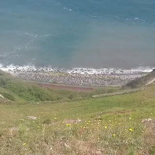 Bray to Greystones Cliff WalkWalk · BraySeven kilometres of path cut into the cliff around Bray Head, sea on one side and the railway line below.
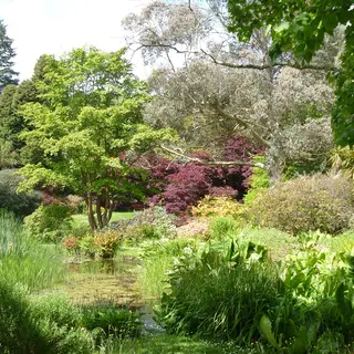 Mount Usher GardensGarden · AshfordTwenty acres along the Vartry river, planted informally in the wild garden style.