
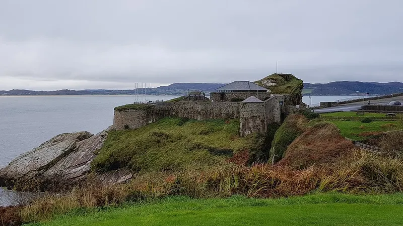
 Fort DunreeThe coastal artillery fort on the headland over Lough Swilly is a military museum now, with the gun emplacements still in place.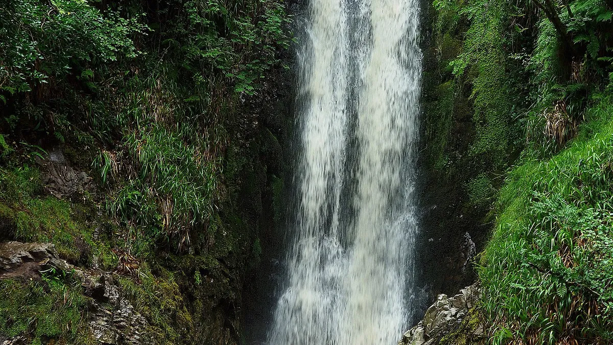
Waterfall
Glenevin Waterfall
Clonmany, County Donegal
Thirty feet of fall at the head of the Glenevin valley, on a signposted riverside path with footbridges.
Glenevin Waterfall is wedge-shaped and cascades fresh mountain water over black rock from a height of 30ft.
- Where
- Clonmany, County Donegal
- Address
- Straid
- Official site
- sportireland.ie
- Map
- Directions · OpenStreetMap
- Before you go
- Opening times, prices and access change. Check with the place itself.
Nearby
The closest places on our lists, in any county.
Fort DunreeThe coastal artillery fort on the headland over Lough Swilly is a military museum now, with the gun emplacements still in place.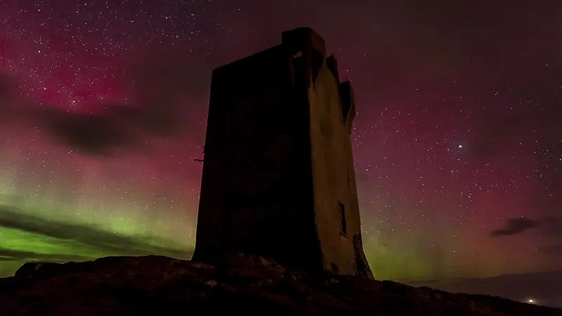 Malin HeadIreland's most northerly point, with a signal tower, a car park and a cliff path down to Hell's Hole.
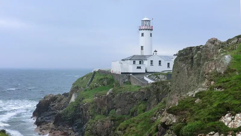 Fanad Head LighthouseThe lighthouse at the mouth of Lough Swilly is still working, and the old keepers' houses take visitors.
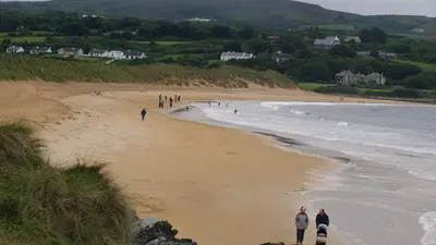 Culdaff BeachSand and rock coves on the northeast coast of Inishowen, lifeguarded through the summer.
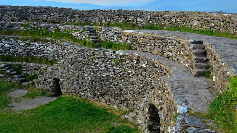 Grianan of AileachThe drystone ring fort sits 250 metres up in Inishowen and looks down on both Lough Swilly and Lough Foyle.
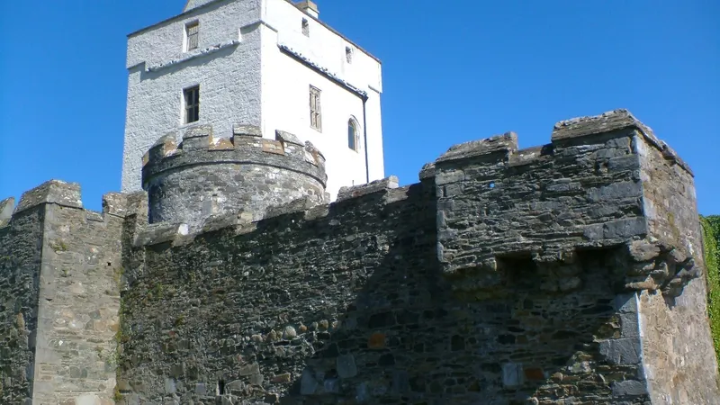 Doe CastleThe tower house stands on a low spit in Sheephaven Bay, water on three sides of it and a rock cut ditch on the fourth.
On nearby
Coming up within about 25km.
Friday 16th October
More in Donegal
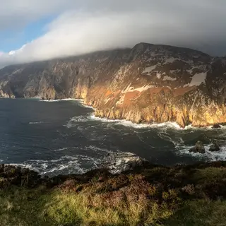 Sliabh Liag (Slieve League)Cliffs · CarrickSea cliffs on the southwest coast. A road takes you up to the car park and a walking path runs along the ridge.
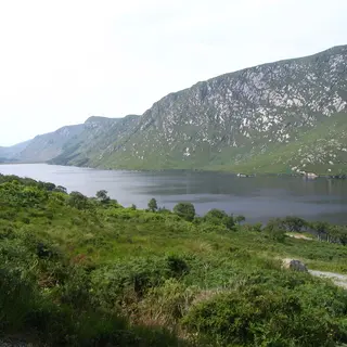 Glenveagh National Park and CastleNational park · ChurchillA glacial valley with a lake in it, red deer and a Victorian castle. The castle is a shuttle bus or a four kilometre walk.
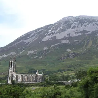 Mount ErrigalMountain · DunleweyThe quartzite cone above Dunlewey is 751 metres, and a marked path goes up from a car park on the R251.
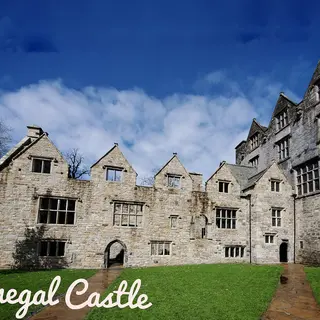 Donegal CastleCastle · Donegal TownThe OPW restored this 15th century O'Donnell tower house and its Jacobean wing, in the middle of the town.
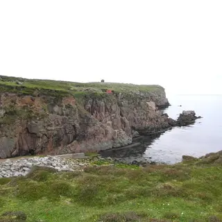 Toraigh (Tory Island)Island · MagheroartyPeople live on it, about fourteen kilometres offshore, and the eastern end is cliff. The ferry goes from Magheroarty.
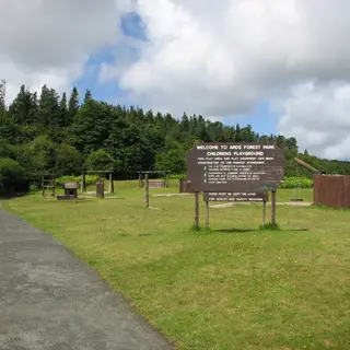 Ards Forest ParkForest · CreesloughWoodland on a peninsula in Sheephaven Bay, with marked trails, dunes and several small beaches inside it.
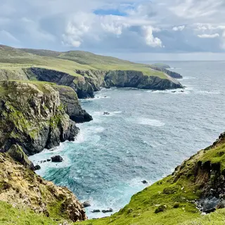 ArranmoreIsland · BurtonportPeople live on it, off the west coast, and the northern side is high cliff. The ferry runs from Burtonport.
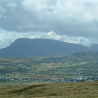 Muckish MountainMountain · CreesloughThe flat top above Creeslough is the shape you will remember, and an 8.3 kilometre bog and track loop runs around the foot of it.