Who we are
Irish Daily publishes this site. You can reach us at contact@irishdaily.ie about anything on this page.
What this site collects
No analytics, no advertising and no tracking pixel. Your visit is not counted, profiled or passed to anybody.
Our hosting provider keeps standard server logs, which include your IP address, so it can serve the pages and keep the server running. Those logs are kept for a short period on a rolling basis.
The events listings
When a page with event listings opens, your browser asks our own events service for the latest listings. That service runs on Cloudflare, which sees your IP address in order to answer the request. Nothing else is sent, and nothing is stored about you.
The chat assistant
The chat assistant only runs if you open it and send a message. It is an AI assistant that answers from what is on this site and from the public events listings.
When you open the chat, Cloudflare Turnstile checks that you are a person and not a bot. What you type is sent to our chat service, which runs on Cloudflare, and to Anthropic, the company whose AI model writes the replies. Anthropic processes it to answer you and does not use it to train its models. Anthropic is in the United States, and that transfer is covered by the standard contractual clauses in its data processing terms. Your IP address is used for up to 30 minutes to stop abuse, then dropped.
We do not keep travel conversations. We only count how many chats and messages there are each day, with nothing about who sent them.
If you ask about advertising and leave your name and an email or phone number, that conversation is emailed to us through Resend so we can reply, and a copy is kept in our database for 90 days, then deleted automatically. Our lawful basis is that you asked us to get back to you.
Your conversation is kept in your own browser until you close the tab, so it is still there if you move between pages. Please do not type anything sensitive into the chat.
The forms
The forms on the advertise and contact pages ask for your name or business, what you are after and an email address. We use them to reply to you and for nothing else. We do not add you to a mailing list, we do not sell what you send us and we do not pass it on. We keep an enquiry while the conversation is live and for a reasonable period after it, then delete it.
Our lawful basis is your consent, which you give by ticking the box, and our legitimate interest in answering an enquiry you sent us.
What is stored on your device
No cookies. If you use the search, the site may remember your last few searches in your own browser so you can pick them up again; that list never leaves your device and you can clear it from the search panel. The chat keeps your conversation in the same way until you close the tab.
Maps
The maps on this site are drawn by the site itself. A place page can also open OpenStreetMap, but only when you press the button; until then OpenStreetMap is never contacted. If you press it, OpenStreetMap sees your IP address and that a map was requested.
Fonts, photographs and files
Every font, photograph, stylesheet and script is served from this site. Nothing is pulled from Google Fonts or a content delivery network.
Your rights
You can ask for a copy of anything we hold about you, ask us to correct or delete it, or object to us holding it. Write to contact@irishdaily.ie.
If you are not happy with how we handle it, you can complain to the Data Protection Commission at dataprotection.ie.
Changes
If this policy changes we change the date on it. Last updated 23 September 2026.

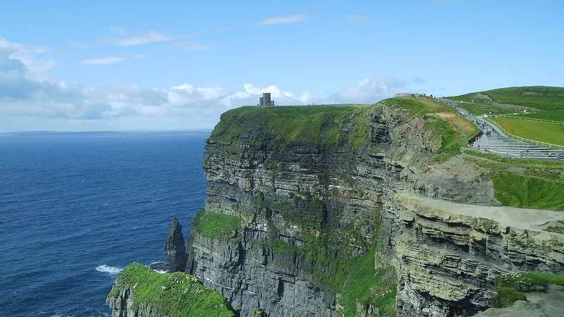 Cliffs of MoherSea cliffs run about 14km down the west Clare coast, and the visitor centre is dug into the hillside above Liscannor.
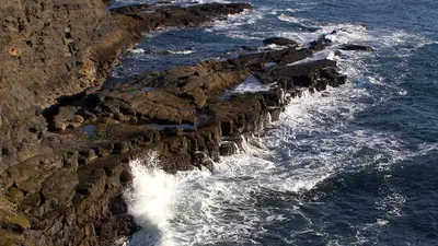 Kilkee CliffsCliffs and sea stacks west of Kilkee bay, with a signed cliff path that starts in the town itself.
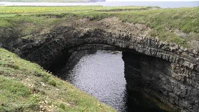 Bridges of RossThree sea arches named the spot and one is left, in the cliffs on the north side of Loop Head.
 Slieve Bloom MountainsMountain · MountrathLow and flat topped on the Offaly border, mostly blanket bog and forestry, with Arderin the high point at 527m.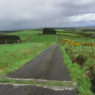
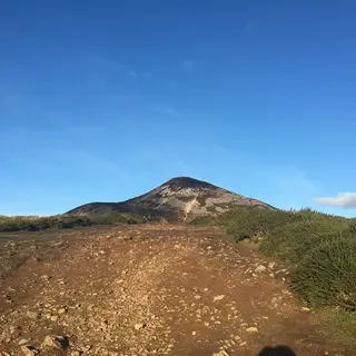
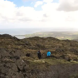 Slieve FoyeMountain · CarlingfordSlieve Foye rises directly above Carlingford, and a marked loop climbs off the edge of the village.
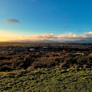
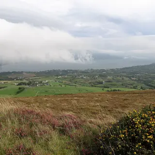 The Cooley PeninsulaViewpoint · CarlingfordCooley is the finger of land between Carlingford Lough and Dundalk Bay, mountain on one side and water on the other.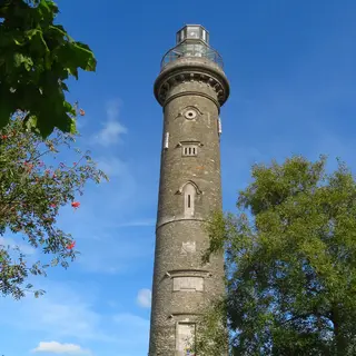
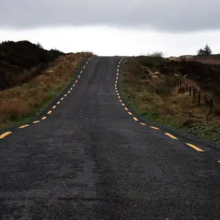
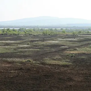
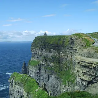 Cliffs of MoherCliffs · LiscannorSea cliffs run about 14km down the west Clare coast, and the visitor centre is dug into the hillside above Liscannor.
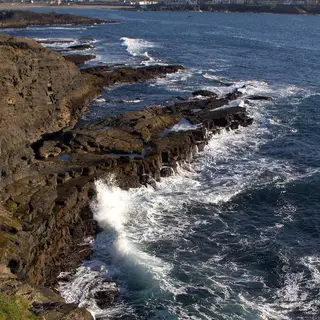 Kilkee CliffsCliffs · KilkeeCliffs and sea stacks west of Kilkee bay, with a signed cliff path that starts in the town itself.
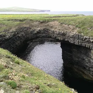 Bridges of RossCliffs · KilkeeThree sea arches named the spot and one is left, in the cliffs on the north side of Loop Head.
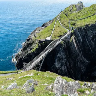 Mizen HeadCliffs · GoleenIreland's south west tip, reached by an arched bridge over the water between two cliffs.
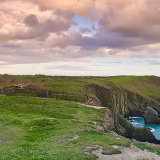 The Old Head of KinsaleCliffs · KinsaleA long headland running out into the Atlantic. The end of it is a private golf course, so most people see it from the signal tower at the neck.
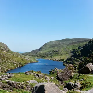 The Gap of DunloeMountain · BeaufortOne road runs through the middle of this narrow pass between the Purple Mountain and the Reeks.
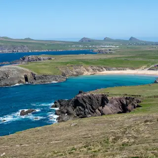 Slea HeadCliffs · DingleOut at the western tip of the Dingle peninsula, with the Blasket Islands sitting in front of you.
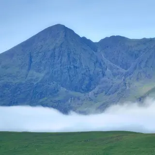 MacGillycuddy's ReeksMountain · KillarneyIreland's highest range runs west from Killarney, with Carrauntoohil in the middle of it.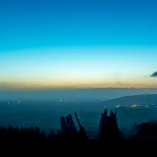
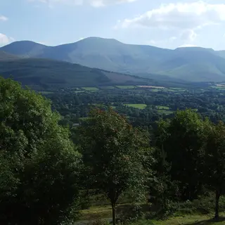
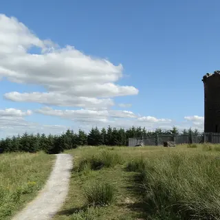
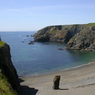
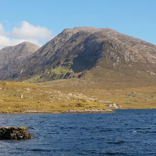
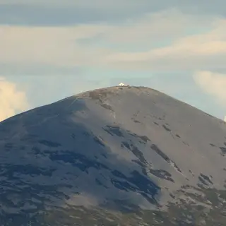 Croagh PatrickMountain · WestportCroagh Patrick stands over Clew Bay, and the climb from Murrisk goes up to a chapel on the 764 metre summit.
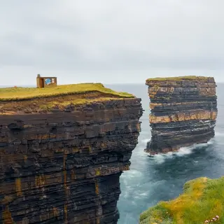 Downpatrick HeadCliffs · BallycastleThe headland is grass on top, with the Dun Briste sea stack standing just off it.
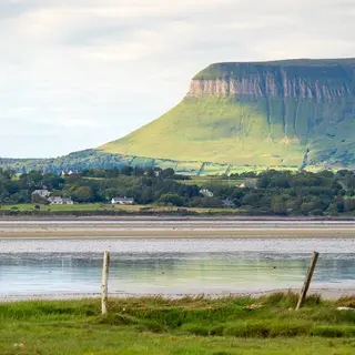 BenbulbenMountain · DrumcliffeBenbulben is flat on top, north of Sligo town, and a looped forest trail runs around the base of it.
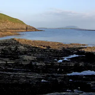 KnocknareaMountain · StrandhillThe cairn on top has never been opened. The Queen Maeve Trail takes you up from Strandhill.
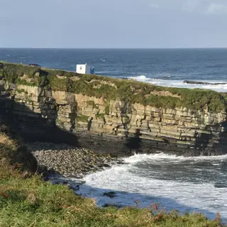 Mullaghmore HeadViewpoint · MullaghmoreA low headland with a small harbour on it, and a big wave break offshore.
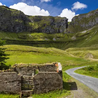 Gleniff HorseshoeViewpoint · CliffoneyThe road loops through a glacial valley in the Dartry mountains, with a cave up high on the rock face.
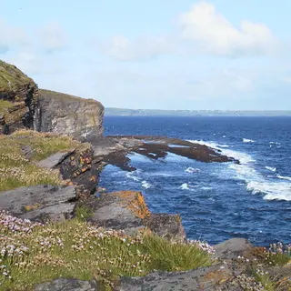 Aughris HeadCliffs · TempleboySmall headland with a cliff walk on it, on the coast between Sligo and Ballina.
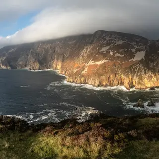 Sliabh Liag (Slieve League)Cliffs · CarrickSea cliffs on the southwest coast. A road takes you up to the car park and a walking path runs along the ridge.
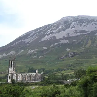 Mount ErrigalMountain · DunleweyThe quartzite cone above Dunlewey is 751 metres, and a marked path goes up from a car park on the R251.
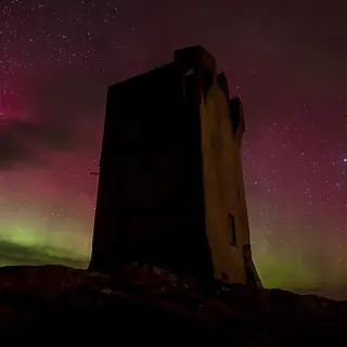 Malin HeadViewpoint · MalinIreland's most northerly point, with a signal tower, a car park and a cliff path down to Hell's Hole.
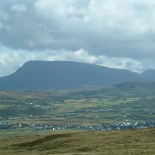 Muckish MountainMountain · CreesloughThe flat top above Creeslough is the shape you will remember, and an 8.3 kilometre bog and track loop runs around the foot of it.
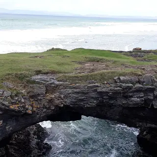 Fairy Bridges and Wishing ChairCliffs · BundoranSea arches and a rock seat cut into the low cliffs on the west side of Bundoran, reached on foot off the Rougey walk.